Digital Article
How WWI got Nat Geo into the map business
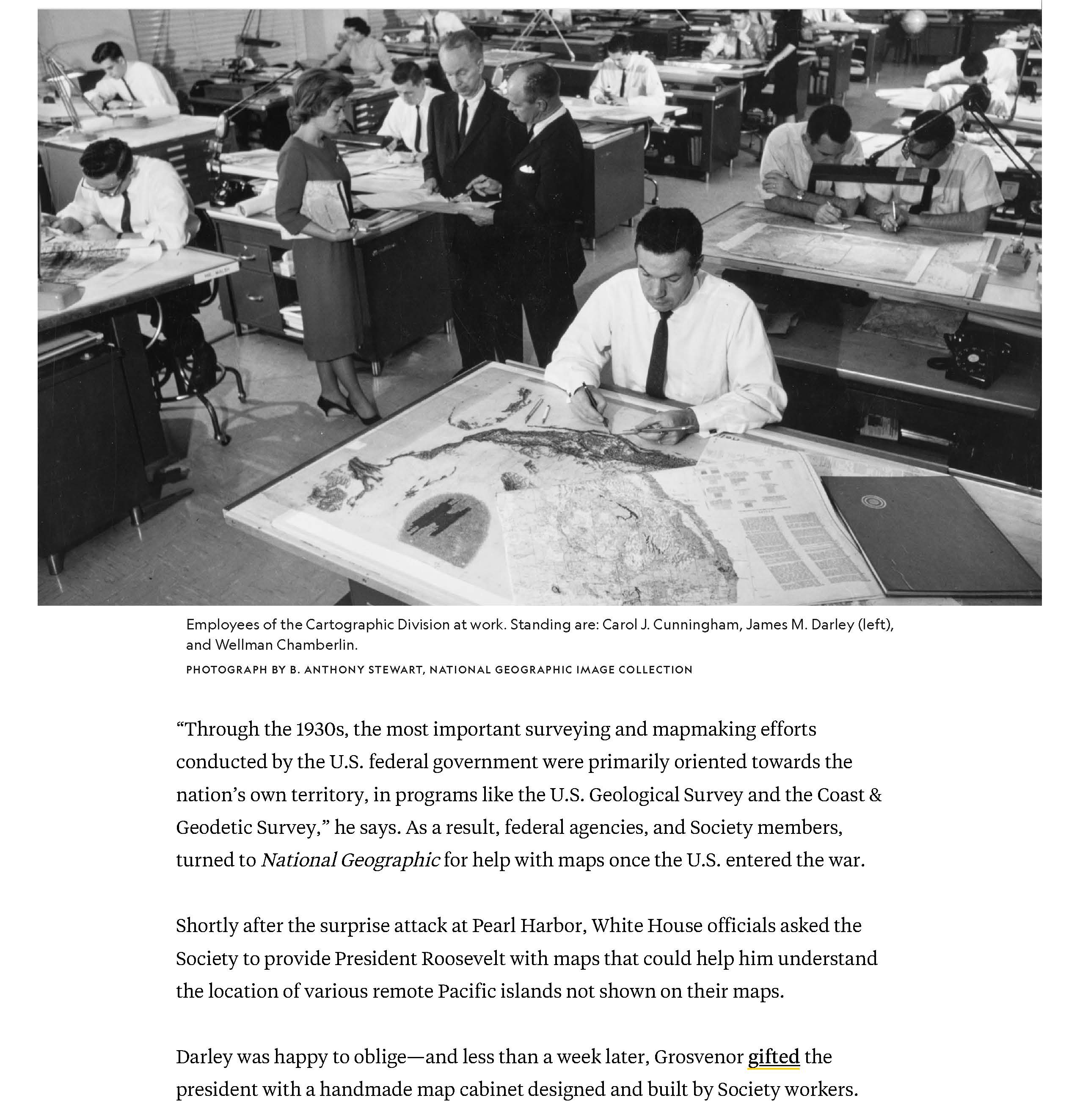
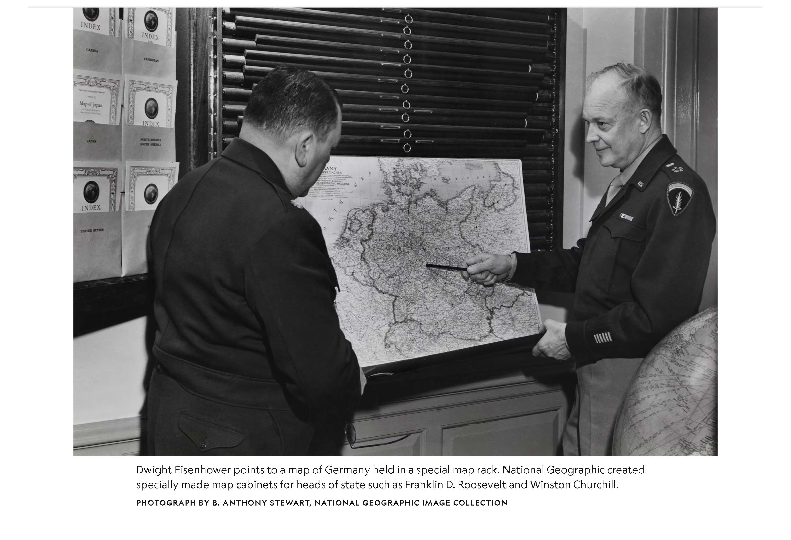
National Geographic's mapmaking began during World War I, and its reputation for precision and detail led to requests from the U.S. government for specialized maps during World War II.
Role
Photo Editor
Background
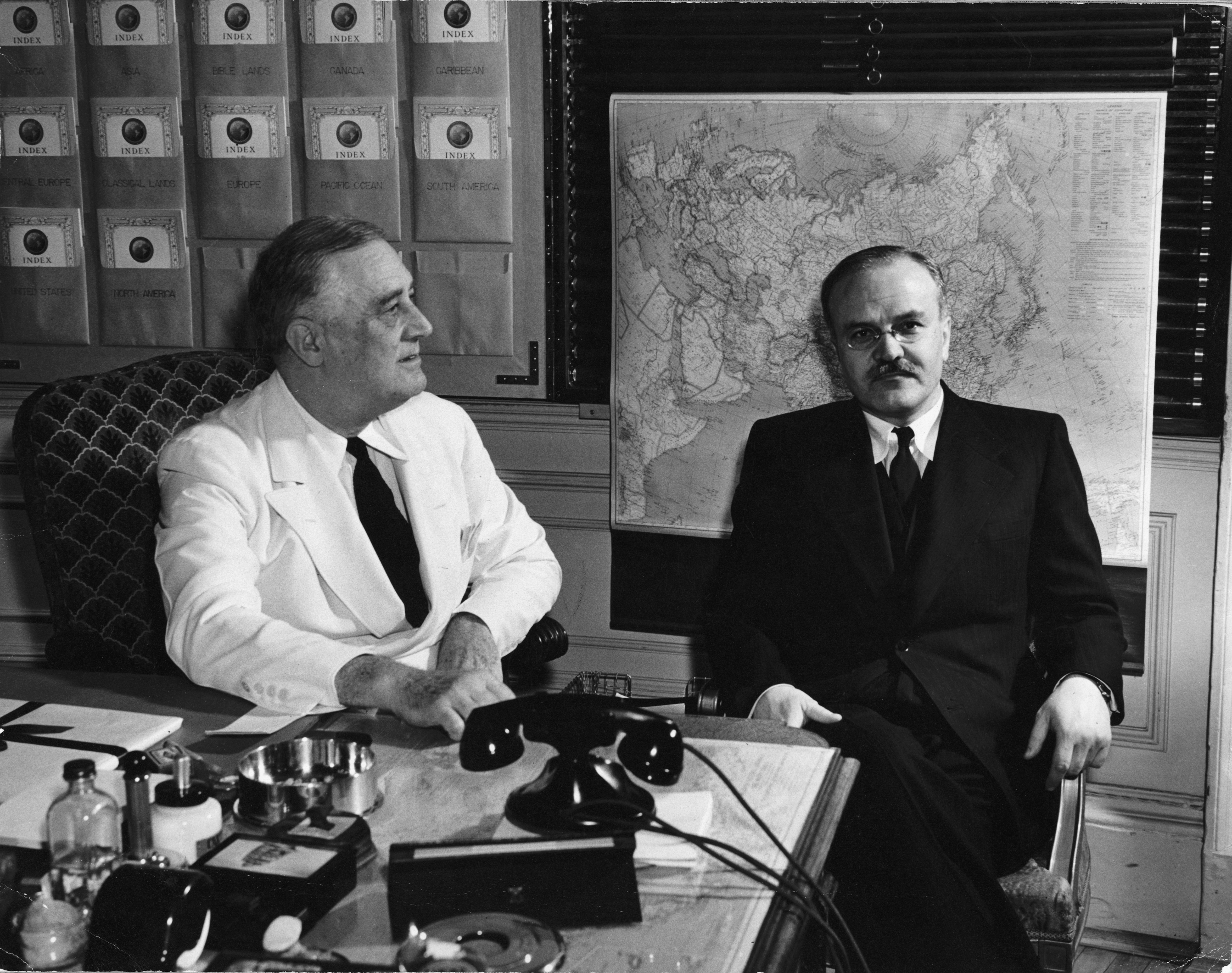
While browsing through National Geographic's archives, I came across something interesting: a National Geographic map with strategic plans written over it. I began to dive deeper into the subject, digitizing correspondence from that era, and discovered that National Geographic had produced millions of maps for the government during World War II. Through both factual and photo research, I pitched this as a digital story exploring how this relationship began and how it evolved throughout the war.